Portfolio · Web app · Property
Find land missing from the Land Registry.
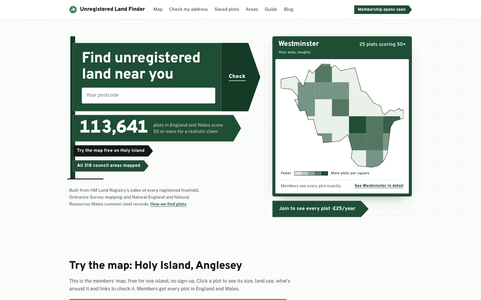
A subscription web app that maps unregistered land across England and Wales. It combines HM Land Registry’s index of registered freeholds, Ordnance Survey mapping and common-land records, then scores every plot for how realistic a claim would be.
The brief
Thousands of plots in England and Wales have never been registered, but finding them by hand means cross-checking huge public datasets, one plot at a time.
The brief was to turn that into something anyone could use: one map of every unregistered plot, a clear sense of which are worth pursuing, and a membership people would happily pay for.
How we met it
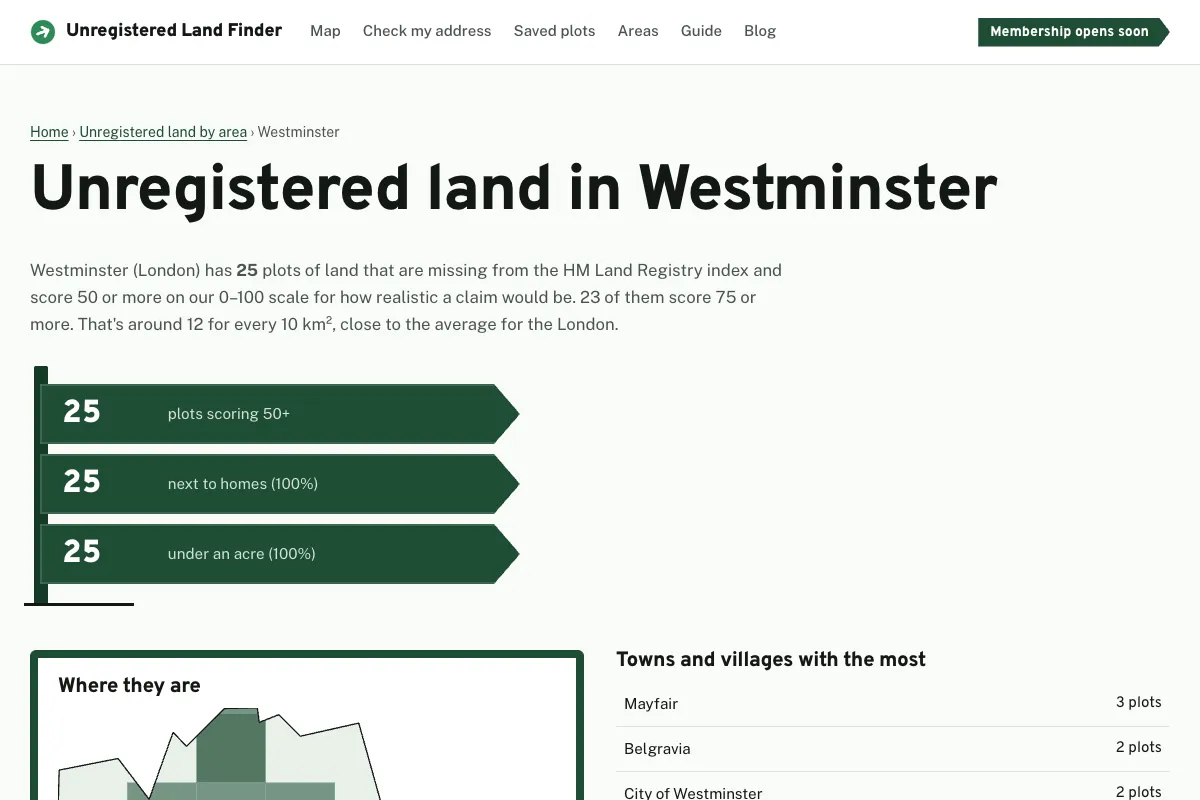
One map. The app combines HM Land Registry’s index of registered freeholds, Ordnance Survey mapping and common-land records, and maps all 318 council areas automatically.
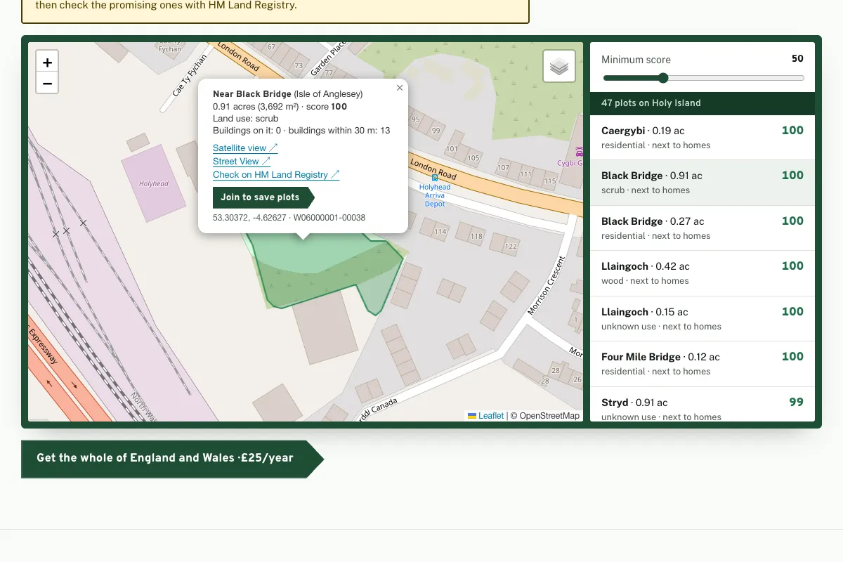
Which plots are worth it. Every plot gets a 0–100 score from its size, land use and surroundings, with satellite and Street View alongside, so people can shortlist the promising ones in minutes. “Check my address” shows unregistered land touching your own home.
Worth paying for. Anyone can try the map free on Holy Island, Anglesey. Members get the whole of England and Wales for £25 a year, with saved plots tracked from visited to applied.
Highlights
Every plot scored
Size, land use, what’s around it, satellite and Street View, with a 0–100 score for each plot.
Check my address
Mark your home and see unregistered land touching it, the most realistic claim there is.
Saved plots
Shortlist plots and track each one from visited to applied, with your own notes and dates.
113,641 strong leads
Plots across England and Wales that score 50 or more for a realistic claim.
A closer look
Want something like this for your business?
Book a free chat